Death Valley Backcountry Roadside Camping
Death Valley, California · National Park Service
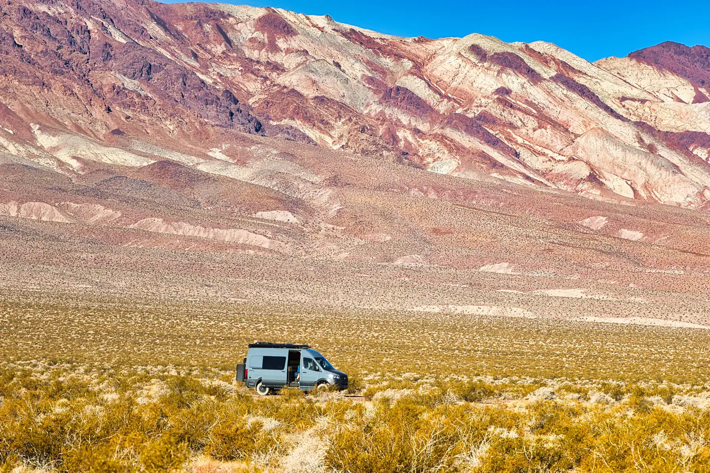
Photo: Recreation.gov
About
PLEASE BE AWARE: These are primitive sites that do not offer water, electricity, toilet access, or any amenities. Most primitive roadside campsites require a high clearance vehicle, and 4-wheel drive is highly encouraged. Road conditions can change quickly. High clearance vehicles are defined as a SUV or truck with at least 15 inch tire rims AND at least 8 inches of ground clearance from the lowest point of the frame, body, or suspension. Despite its morbid name, a great diversity of life survives in Death Valley! In this below-sea-level basin, steady drought and record summer heat make Death Valley a land of extremes. Yet, each extreme has a striking contrast. Towering peaks are frosted with winter snow. Rare rainstorms bring vast fields of wildflowers. Lush oases harbor tiny fish and refuge for wildlife and humans. Death Valley has sunk below sea level through geologic processes over time. It lies within the Mojave Desert and is the hottest, driest and lowest location in North America. Despite its extreme climate, the park boasts a diversity of ecosystems, including colorful badlands, snow-covered peaks, desolate sand dunes, rugged canyons and flat, dry basins called playas. Backcountry Roadside camping in Death Valley provides a primitive backcountry experience in the park's premier wilderness. All of these designated sites are located in remote locations and campers must be self-sufficient. Visit the park's Backcountry Camping page for more information. This location is unstaffed. To speak with our main office for general information, please call: (760) 786-3200.Backcountry Roadside Campsites: Primitive roadside camping with your vehicle in designated campsites along rugged backcountry dirt roads. These are primitive, roadside campsites which require extra trip planning. Please take the time to plan and carefully prepare your itinerary. Roadside campsites are intended for high clearance vehicles only. Trailers, RVs and passenger vehicles will not be able to access most of these campsites. High clearance vehicles are defined as a SUV or truck, with at least 15 inch tire rims, and at least 8 inches of ground clearance, as measured from the lowest point of the vehicle (frame, suspension, body, differential). Death Valley National Park contains the largest wilderness in the contiguous United States (over 3,190,400 acres or roughly 93% of the entire National Park!). Nearly a thousand miles of paved and dirt roads intersect the wilderness, providing ready ac
Directions
Note: Do not exclusively rely on GPS navigation while travelling in Death Valley National Park. Travelers should always carry up-to-date road maps and be aware that there is no cell phone service along most park roads. Always travel prepared to self-rescue as help may be hours away. There is no specific street address for the park. Furnace Creek Visitor Center coordinates: 36.46171, -116.86682 Stovepipe Wells Ranger Station coordinates: 36.608048, -117.144504 Paved Entrances East Side: CA 190 from Death Valley Junction, CA SR 374 from Beatty, NV CA 178 from Shoshone, CA West Side: CA 190 from Olancha, CA (SR 136 from Lone Pine, CA) SR 178 (Panamint Valley Rd) from Trona, CA Cottonwood – Marble Canyon Rd From CA-190 enter Stovepipe Wells Campground. Turn left on the Cottonwood Marble Road marked by a sign for the airport. Check conditions prior to travel.
Location
Map tiles © OpenStreetMap.
Details
- State
- California
- City / area
- Death Valley
- Agency
- National Park Service
- Parent area
- Death Valley National Park
- Campsites
- 37
- Reservable
- Yes
- Typical price
- $10 / night
- Rating
- 4.47 / 5 (151 reviews on Recreation.gov)
- Equipment
- Tent, Caravan/Camper Van, Pickup Camper
Nearby campgrounds
- Furnace Creek Campground 0.2 km away · dump mentioned
- MCWILLIAMS 107.3 km away
- FOXTAIL GRP PICNIC AREA 108.5 km away
- CATHEDRAL ROCK PICNIC AREA 111.8 km away
- MAHOGANY GROVE 113.2 km away
- HILLTOP 114.0 km away