Skip to content
CM Campgrounds MapFederal campground finder
States Map Dump stations Best lists Guides About Sources
Home / California / Stonyford

Campgrounds near Stonyford, California

14 federal Recreation.gov campgrounds in this area.

Campgrounds near Stonyford

Map tiles © OpenStreetMap contributors. Campground points from Recreation.gov.

Filters use Recreation.gov text and equipment types. They can miss amenities that are not written up yet.
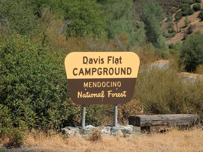
Davis Flat

Stonyford, CA
Lake/water
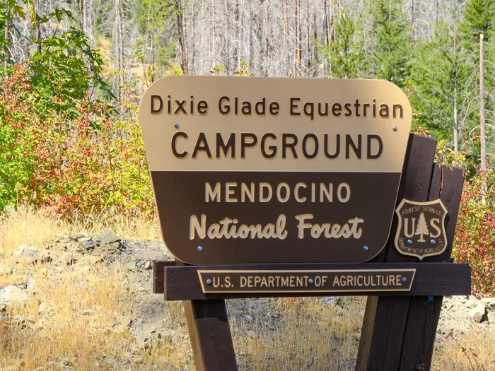
Dixie Glade Campground

Stonyford, CA
No official photo yet

Dixie Glade Campground

Stonyford, CA

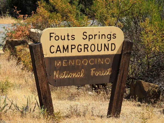
Fouts

Stonyford, CA
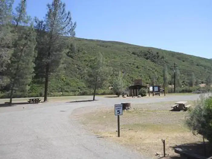
GRAY PINE GROUP CAMPGROUND

Stonyford, CA

Letts Lake Campground

Stonyford, CA
Lake/water
No official photo yet

Letts Lake Campground

Stonyford, CA
Lake/water

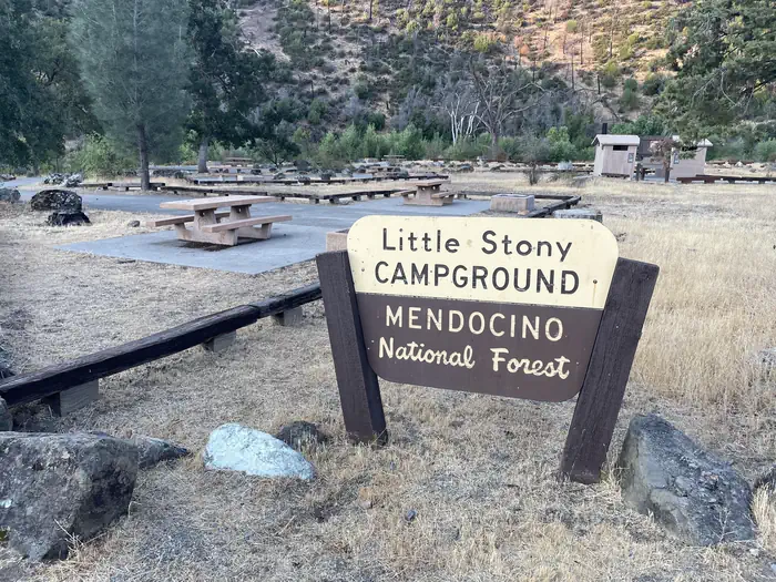
Little Stony

Stonyford, CA
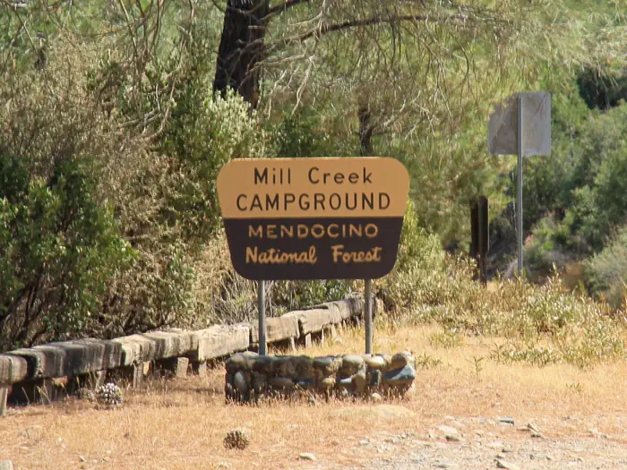
Mill Creek - Mendocino National Forest

Stonyford, CA
No official photo yet

Mill Creek Campground

Stonyford, CA

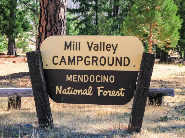
Mill Valley Campground

Stonyford, CA
Lake/water

North Fork - Mendocino National Forest

Stonyford, CA
No official photo yet

North Fork Campground

Stonyford, CA

South Fork Campground - Mendocino National Forest

Stonyford, CA

Campgrounds Map

A free directory of federal U.S. campgrounds from Recreation.gov. Snapshot: Nov 02, 2026. 5,438 campgrounds · 49 states.

Explore

  • Browse by state
  • U.S. campground map
  • RV dump station finder
  • Best campgrounds by state
  • Free camping basics
  • RV dump etiquette

Contact

  • [email protected]
  • About this site
  • Privacy
  • Data sources

Not affiliated with Recreation.gov, USDA, DOI, USACE, or any federal agency. Listings are federal Recreation.gov facilities only. Amenity flags (dump station, pets, showers, hookups) are derived from published Recreation.gov text and equipment types and may be incomplete. Always confirm details and reserve on Recreation.gov. Dump station coverage is limited to federal listings—state parks, truck stops, and private parks are not included yet. © 2026 Campgrounds Map.