Black Canyon Of The Gunnison North Rim Campground
Montrose, Colorado · National Park Service
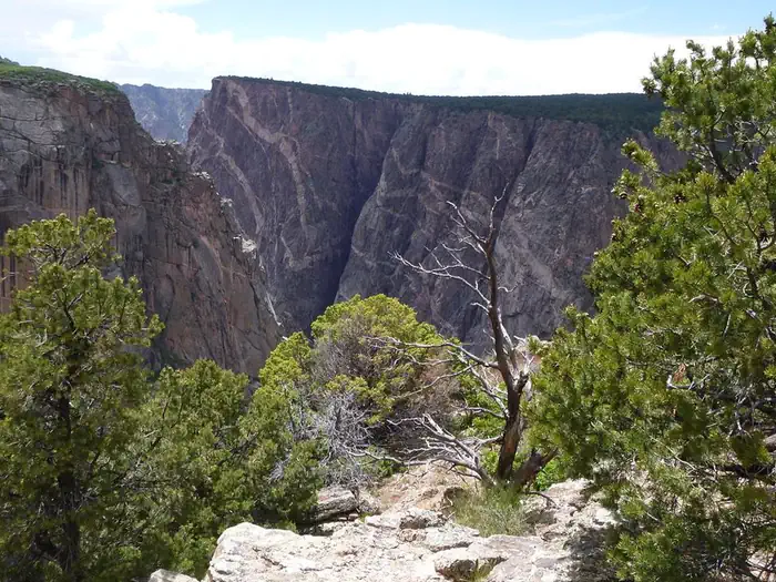
Photo: Recreation.gov
About
Official NPS North Rim Website The North Rim campground is remote and has 13 sites dispersed among pinyon and juniper trees. Sites available on a first-come, first-served basis. Elevation: 7767 ft (2367.4 m). The ranger station is open intermittently in the summer and closed in the winter. In the summer, maps and newspapers are available on the ranger station porch. The ranger station also has a self-pay station for the park entrance fee and a self-registration kiosk for wilderness permits.
Directions
The North Rim is 11 miles southwest of Crawford, Colorado. From CO Highway 92, turn west on Black Canyon Road approximately 3 miles south of Crawford. Follow the road signs to the park. The last 7 miles of the park access road and the entire North Rim Drive road are unpaved gravel. Typically, the roads are in good condition and passable for most vehicles. In winter and early spring, these roads are unplowed and the North Rim is closed to vehicles.
Location
Map tiles © OpenStreetMap.
Details
- State
- Colorado
- City / area
- Montrose
- Agency
- National Park Service
- Parent area
- Black Canyon Of The Gunnison National Park
- Campsites
- 13
- Reservable
- Yes
- Typical price
- See Recreation.gov
- Rating
- 4.63 / 5 (35 reviews on Recreation.gov)
- Equipment
- Tent, Caravan/Camper Van, Pickup Camper
Nearby campgrounds
- Black Canyon Of The Gunnison South Rim Campground 4.3 km away · dump mentioned
- East Portal Campground 8.3 km away
- East Portal Campground 8.3 km away
- Cimarron Campground 20.6 km away
- Cimarron Campground (CO) 20.7 km away · dump mentioned
- Cottonwood Grove Campground 24.7 km away