Falls Campground (Malheur National Forest)
Hines, Oregon · USDA Forest Service
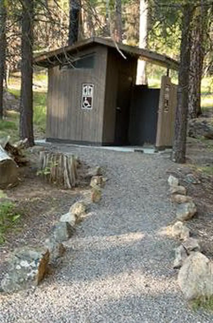
Photo: Recreation.gov
About
This is a beautiful campground located on the banks of the Emigrant Creek. Easy fishing access allows for trout fishing right next to the campground. The campground's picnic area is a great site for family-friendly getaways and rarely fills. Please pack out what you pack in- no trash service is provided.Day use picnic area Vault toiletEmigrant CreekDelintment Lake Yellowjacket Reservoir Burns BLM Radar Hill OHV Chickahominy ReservoirFor local information, please call (541) 573-4300 or call (541) 575-3000 for general information.
Directions
From Burns, OR., travel west on US Highway 20 to the junction with County Road 127. Follow County Road 127 approximately 23 miles to the junction with Forest Road 43. Follow Forest Road 43 approximately 8.5 miles, the road leading to the campground will be on the left. The campground will be at the end of the drive.
Location
Map tiles © OpenStreetMap.
Details
- State
- Oregon
- City / area
- Hines
- Agency
- USDA Forest Service
- Parent area
- Malheur National Forest
- Campsites
- 6
- Reservable
- Yes
- Typical price
- $8 / night
- Equipment
- See Recreation.gov
Nearby campgrounds
- Delintment Lake Campground 18.1 km away
- Tip Top Campground 18.8 km away
- Buck Spring Campground 24.8 km away
- IDLEWILD 34.1 km away
- Idlewild Campground 34.2 km away
- Joaquin Miller Horse Camp 35.3 km away