Rock Springs Campground
Seneca, Oregon · USDA Forest Service
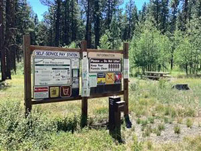
Photo: Recreation.gov
About
This small campground is conveniently located just off of Forest Road 17. Nestled among ponderosa pine trees, this secluded campground offers a wonderful place for those in search of a quiet place to stay, whether camping or just needing a quiet place to spend the night while traveling from Burns to John Day, Oregon. The campground has light use until big game hunting seasons. Visitors can enjoy fishing in Poison Creek Reservoir, hiking, hunting and horseback riding local trails such as Malheur River Trail #303 and Craft Cabin trail #319. Idlewild Campground Joaquin Miller Horse Camp Craft Cabin Trail Idlewild Loop Trail Joaquin Miller Horse Trail Poison Creek Reservoir Burns BLM
Directions
From Burns, OR., travel east on US Highway 20 approximately 2.8 miles to US Highway 395 north. Turn right onto US Highway 395 north toward John Day, OR. Follow US Highway 395 for approximately 30.8 miles to the junction with Forest Road 17. Turn right onto Forest Road 17, travel 4.8 miles to the junction with Forest Road 054. Follow Forest Road 054 for approximately 1, the campground will be on the right.
Location
Map tiles © OpenStreetMap.
Details
- State
- Oregon
- City / area
- Seneca
- Agency
- USDA Forest Service
- Parent area
- Malheur National Forest
- Campsites
- 12
- Reservable
- Yes
- Typical price
- $6 / night
- Equipment
- See Recreation.gov
Nearby campgrounds
- Parish Cabin Campground 20.7 km away
- Joaquin Miller Horse Camp 22.2 km away
- Wickiup Campground 24.1 km away
- Idlewild Campground 25.5 km away
- IDLEWILD 25.6 km away
- Big Creek Campground 27.2 km away