LEDGEFORK
Kamas, Utah · USDA Forest Service
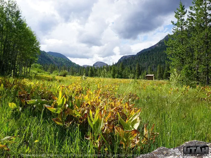
Photo: Recreation.gov
About
Ledgefork Campground is located just above Smith and Morehouse Reservoir on the western edge of the Uinta Mountains in northeastern Utah. The town of Oakley is just 14 miles away. Visitors enjoy fishing, canoeing and exploring the Smith and Morehouse Trail.For facility specific information, please call (385) 273-1100.The campground contains several single and double sites with picnic tables and campfire rings. Vault toilets are provided. Firewood is available for purchase from the host. The campground is situated within a quarter-mile of the reservoir in a scenic conifer and aspen forest at an elevation of 7,800 feet. Smith and Morehouse Creek runs through the campground. A variety of wildlife makes its home around the reservoir, including moose and deer. Summer temperatures range from 65-75 degrees in the day to 40-50 at night.The reservoir is open to motorized boats, though a wake-less speed is enforced, making it an excellent place for canoeing and kayaking. A boat ramp is located on the northwest shore. Anglers enjoy fishing for stocked rainbow trout and other native fish species. The 12-mile round-trip Smith and Morehouse Trail is popular with hikers and backpackers. The trail begins in the campground and leads through forests, meadows and a marsh before spurring off to Erickson Basin and Island Lake.
Directions
From Salt Lake City: From I 15, take I 80E past Park City to either Hwy 189 or Wanship. On 189, travel SE to Kearns Blvd/SR 248. Continue east on SR 248 to Browns Canyon Rd. Travel E/NE on Browns Canyon until it connects with SR 32 just north of Peoa. Turn south onto SR32 and travel until it becomes North Bench and then Weber Canyon Rd. From Wanship, take SR 32 past Rockport State Park to Peoa. At Peoa, SR32 becomes North Bench Rd and then Weber Canyon Rd. Stay on Weber Canyon Rd to FR 33. Turn right (south) onto FR 33 and travel past Smith Morehouse Reservoir to Ledgefork. (FR33 distance ~16 miles) From Utah County (Provo): Follow US 189 (University Ave.) through Provo Canyon to Heber City. At the junction in Heber, turn left and stay on 189 going north until you reach SR32. Turn right (east) on SR32 and travel past Jordanelle State Park to Francis. At Francis, turn left (north) onto Main St. Stay on Main st. until it becomes New Lane Rd in Oakley. Stay on New Lane Rd to Weber Canyon Rs. Turn right (east) onto Weber Canyon Rd. Stay on Weber Canyon Rd to FR 33. Turn right (south) onto FR 33 and travel past Smith Morehouse Reservoir to Ledgefork. (FR33 distance ~16 miles)
Location
Map tiles © OpenStreetMap.
Details
- State
- Utah
- City / area
- Kamas
- Agency
- USDA Forest Service
- Parent area
- Uinta-Wasatch-Cache National Forest
- Campsites
- 71
- Reservable
- Yes
- Typical price
- $27.75–$56.12 / night
- Rating
- 4.40 / 5 (289 reviews on Recreation.gov)
- Equipment
- Tent, RV, Trailer
Nearby campgrounds
- Ledgefork Guard Station 0.1 km away
- SMITH AND MOREHOUSE 3.0 km away
- WASHINGTON LAKE 13.3 km away
- Yellow Pine Campground (UT) 14.1 km away
- Shingle Creek ATV Campground 14.4 km away
- TRIAL LAKE CAMPGROUND 14.4 km away