Card Picnic Area
Logan, Utah · USDA Forest Service
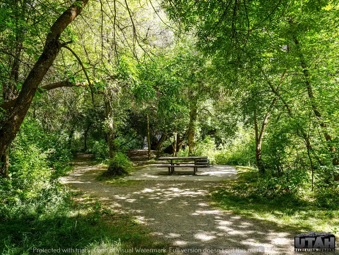
Photo: Recreation.gov
About
Card Picnic Area is situated on the banks of the Logan River just 9.4 miles east of Logan, Utah, in scenic Logan Canyon. Visitors enjoy fishing, tubing and exploring local trails. The Logan River offers great fishing, tubing and canoeing opportunities. Numerous hiking and mountain biking trails crisscross the area. This picnic area has 4 single sites that overlook the Logan River. It has great access to fishing areas. Vault restrooms are available at this facility. You can see the line of willow trees planted by early pioneers along the original Logan Canyon road. Shade is plentiful throughout and autumn leaves put on a beautiful show. The Logan River flows gently past the area.
Location
Map tiles © OpenStreetMap.
Details
- State
- Utah
- City / area
- Logan
- Agency
- USDA Forest Service
- Parent area
- Uinta-Wasatch-Cache National Forest
- Campsites
- 4
- Reservable
- Yes
- Typical price
- $14.06 / day
- Equipment
- See Recreation.gov
Nearby campgrounds
- Chokecherry Picnic Area 1.1 km away
- Preston Valley Campground 1.5 km away
- Wood Camp Campground (UT) 1.5 km away
- GUINAVAH 2.5 km away
- Dewitt Picnic Area 3.5 km away
- SPRING HOLLOW CAMPGROUND 4.1 km away